Warning! Unfortunately your browser has disabled scripting. Please enable it in order to display this page.

Property Details

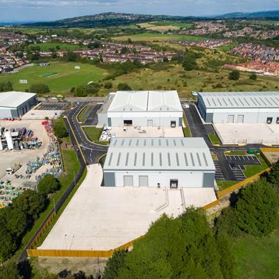
Tunstall Arrow provides one of the best multi-use development sites in Stoke, as it is both highly accessible and prominent.

Tunstall Arrow is a 28 acre former colliery site adjoining the A527 (James Brindley Way) in Sandyford, Stoke-on-Trent which was acquired by Network Space in 2013. The site is within close proximity of the A500, providing access to Junction 16 of the M6 within minutes. The site is one of six sites forming the Ceramic Valley Enterprise Zone.

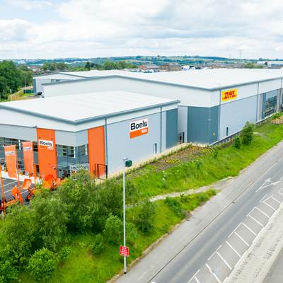
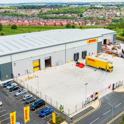
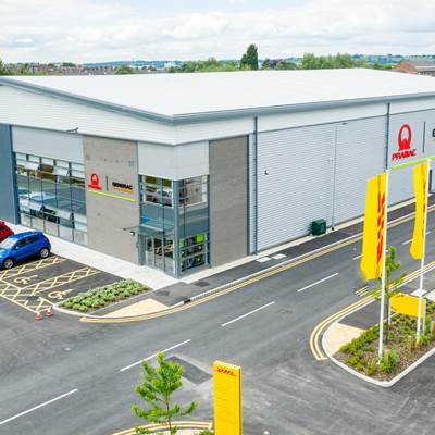
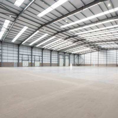
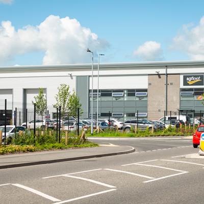
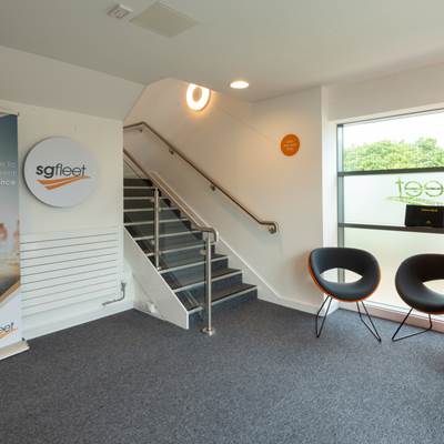
Phase 1 was completed in August 2018, providing 127,130 sq ft of high quality industrial and logistic space across 5 self-contained units ranging from 10,200 sq ft - 40,705 sq ft. These are now home to Q-Railing, Boels Rental, Premac-Generac UK, DHL Express and SG Fleet Solutions. 

Tunstall Arrow is being supported by Stoke-on-Trent City Council and Stoke-on-Trent & Staffordshire Enterprise Partnership, with grant funding coming from the Ceramic Valley Enterprise Zone Development Fund. The Ceramic Valley is one of 48 enterprise zones across the UK and has the potential to create up to 6,700 jobs. The zone covers 3.3 million sq ft of commercial space across six key sites along the A500 corridor.

Phase two will complete in autumn 2022 will deliver a further five self-contained units ranging from 13,250 sq ft to 30,750 sq ft.

Tunstall Arrow is being delivered in partnership with Stoke-on-Trent City Council, Make it Stoke and the Ceramic Valley Enterprise Zone.

In February 2021, Network Space sold Tunstall Arrow South phase 1 to 4th Industrial, a new venture backed by TPG Real Estate Partners.

To see films of how our Tunstall Arrow site evolved, please take a look at our YouTube channel: https://www.youtube.com/playlist?list=PLS9zq9d2Js4C8zXNr9zbP8rEpNHslgH4Z


Map

[ { "featureType": "water", "elementType": "geometry", "stylers": [ { "color": "#e9e9e9" }, { "lightness": 17 } ] }, { "featureType": "landscape", "elementType": "geometry", "stylers": [ { "color": "#f5f5f5" }, { "lightness": 20 } ] }, { "featureType": "road.highway", "elementType": "geometry.fill", "stylers": [ { "color": "#ffffff" }, { "lightness": 17 } ] }, { "featureType": "road.highway", "elementType": "geometry.stroke", "stylers": [ { "color": "#ffffff" }, { "lightness": 29 }, { "weight": 0.2 } ] }, { "featureType": "road.arterial", "elementType": "geometry", "stylers": [ { "color": "#ffffff" }, { "lightness": 18 } ] }, { "featureType": "road.local", "elementType": "geometry", "stylers": [ { "color": "#ffffff" }, { "lightness": 16 } ] }, { "featureType": "poi", "elementType": "geometry", "stylers": [ { "color": "#f5f5f5" }, { "lightness": 21 } ] }, { "featureType": "poi.park", "elementType": "geometry", "stylers": [ { "color": "#dedede" }, { "lightness": 21 } ] }, { "elementType": "labels.text.stroke", "stylers": [ { "visibility": "on" }, { "color": "#ffffff" }, { "lightness": 16 } ] }, { "elementType": "labels.text.fill", "stylers": [ { "saturation": 36 }, { "color": "#333333" }, { "lightness": 40 } ] }, { "elementType": "labels.icon", "stylers": [ { "visibility": "off" } ] }, { "featureType": "transit", "elementType": "geometry", "stylers": [ { "color": "#f2f2f2" }, { "lightness": 19 } ] }, { "featureType": "administrative", "elementType": "geometry.fill", "stylers": [ { "color": "#fefefe" }, { "lightness": 20 } ] }, { "featureType": "administrative", "elementType": "geometry.stroke", "stylers": [ { "color": "#fefefe" }, { "lightness": 17 }, { "weight": 1.2 } ] } ]